

Service · 3D laser scanning
The survey that becomes a digital twin.
A SLAM scanner captures a building as you walk through it and produces a navigable, measurable 3D model that can be published as a link in the browser. Not a film to watch: a space to visit and to measure.
Try it now: our studio
A real survey, published exactly as we deliver it: it opens in the browser, on a phone too, with nothing to install.
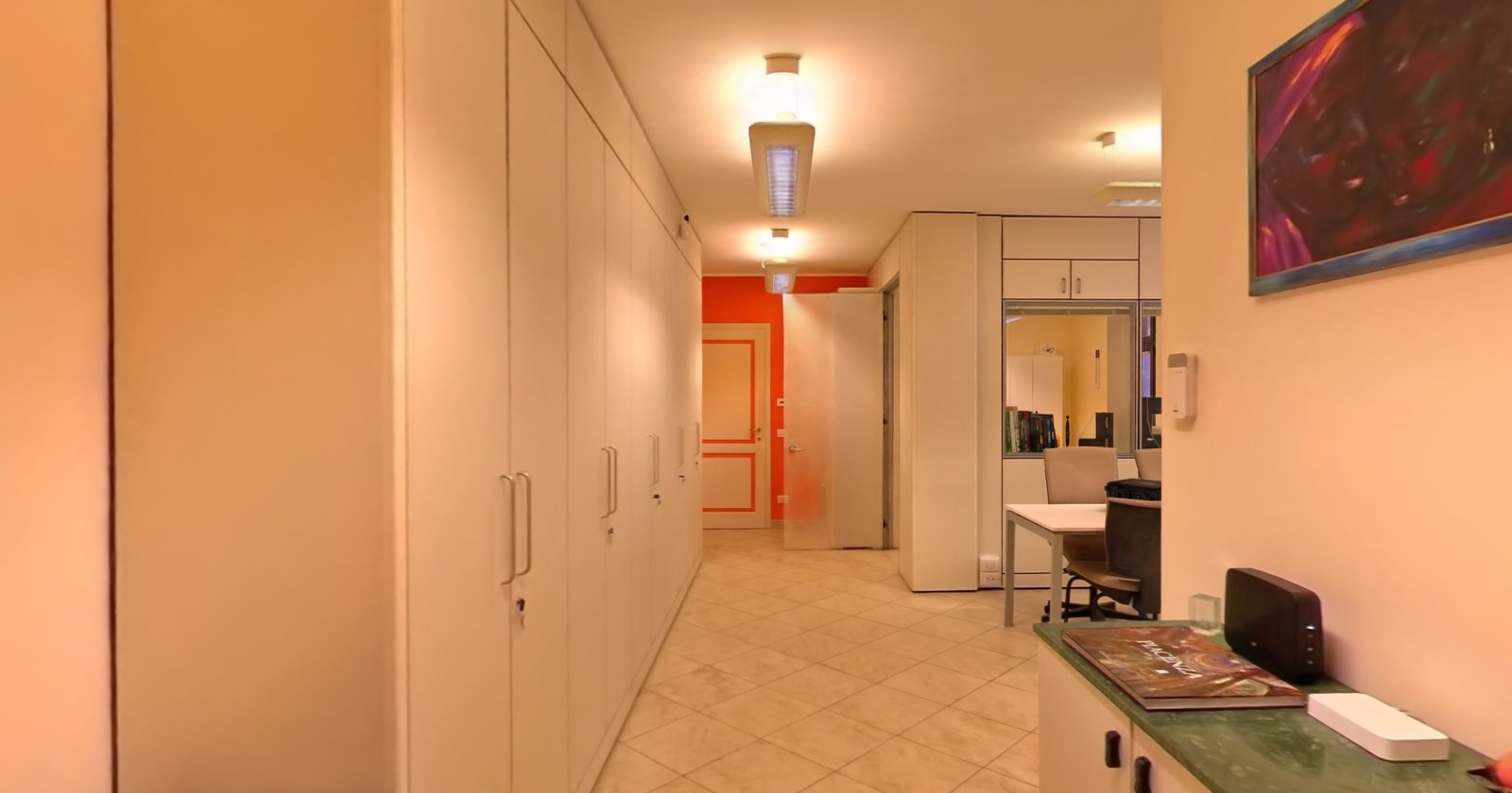
Step inside our studio
A digital twin captured with an XGRIDS SLAM laser scanner. Drag to look around, double-click to move, Misura (Measure) to take measurements.
It really measures.
In the tour: 1.17 m between the two windows. With a tape measure: 117.5 cm. Less than a centimetre apart, from the same survey we use for floor plans and existing-condition drawings.
Indicative measurements, with a tolerance of a few centimetres.
Try the measuring tool →What we deliver
From a single capture we derive everything the project — or the sale — needs.
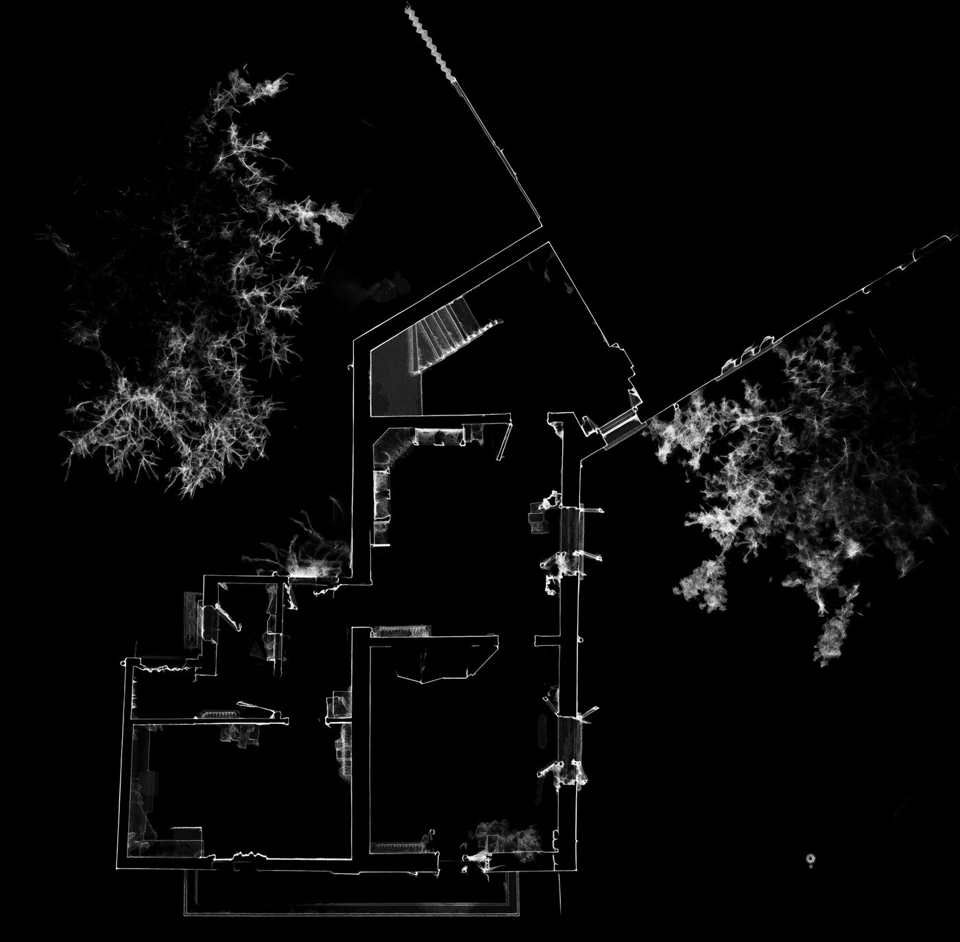
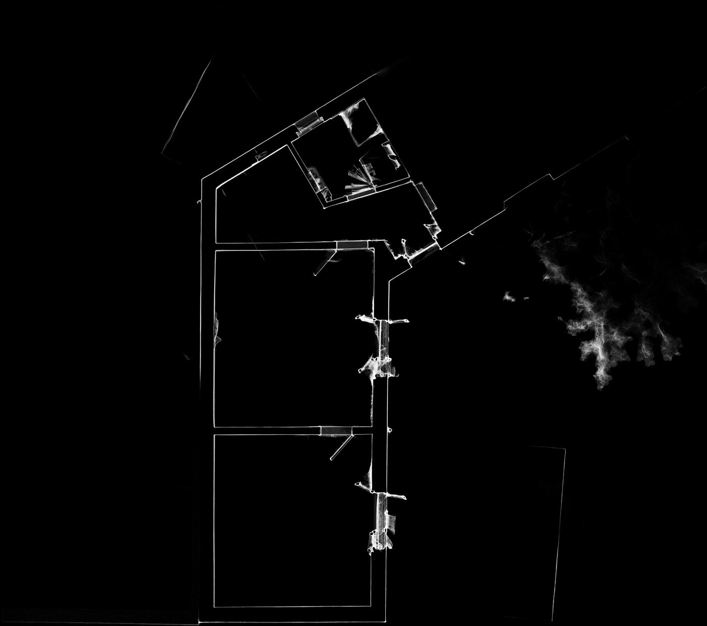
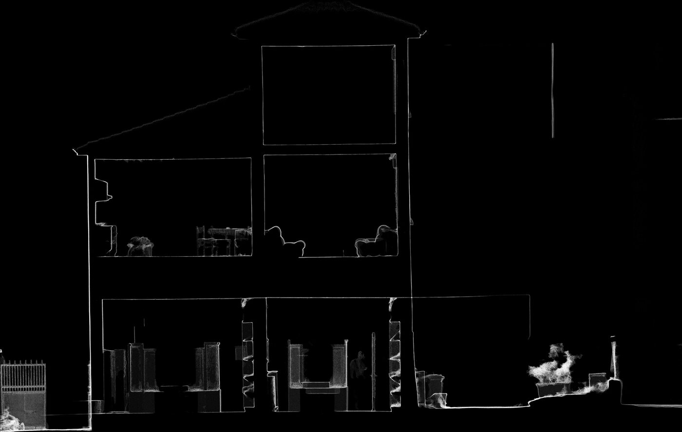
Measurable, reliable plans, elevations and sections, from real data to technical drawings.
A 3D Gaussian Splatting model, a link that opens in the browser with nothing to install: whoever receives it steps inside, moves around and takes indicative measurements with a tap.
Areas that are measured, not estimated: the right square metres, the ones you can't afford to get wrong in a listing or a permit application.
The model of the existing building as a reliable starting point for renovations, checks and cost estimates.
An MP4 taken from a camera path in the viewer or rendered in Blender, when a clip is needed.
The digital twin, in pictures
Views from a real SLAM laser-scanner survey: from point cloud to navigable model.
The technology
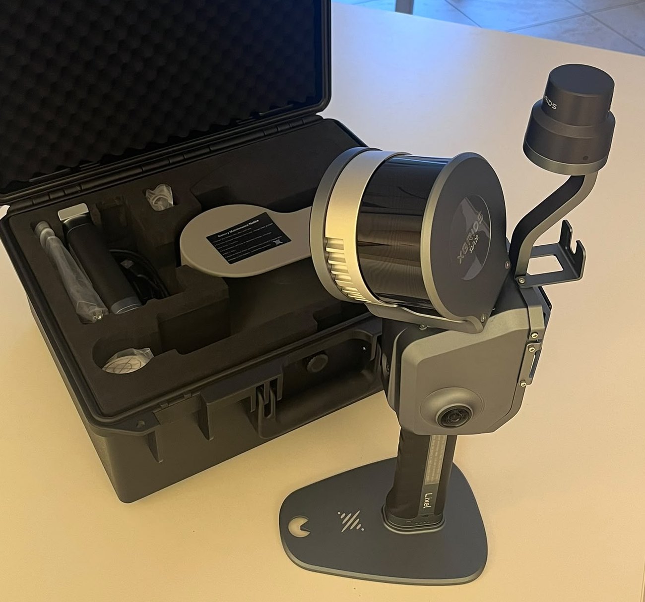
Fast capture of interiors, exteriors and complex spaces, including very large ones.
Navigable, measurable digital twins, exportable as LCC, PLY, OBJ/PLY mesh, USD and 3D Tiles.
The complete pipeline from point cloud to CAD, to 3D model, to video.
SLAM (Simultaneous Localization And Mapping): the scanner moves through the space and reconstructs its geometry in real time, as you walk. 3D Gaussian Splatting makes the model photorealistic, lightweight and shareable on the web.
What it's for
Regularisation and compliance
A planning compliance assessment stands or falls on the survey of the existing condition: this is where a laser scanner makes the difference over a tape measure and laser meter.
As-built and verification
A comparison between what has been built and what is on file, to bring discrepancies to light before they become a problem.
Designing for existing buildings
Renovations and conversions starting from reliable data, reducing surprises and variations on site.
Estate agents
Navigable 3D tour + measured floor plan for the listing. Discover the dedicated service →
A SLAM scanner also captures anyone moving through the space: every model we publish is first checked full-screen. For digital twins of occupied properties we agree in writing on the owner's consent, custody of the file and how long the link stays online.